Topographical Survey
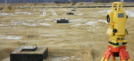
We carry out our Topographical
surveys using the tachometer Leica
TC06, Levelling Leica
NA 724 to deliver to our clients a cost effective, highly accurate
detailed survey. Office calculations for the measuring results are performed
using Leica Geo Office
software. The final topographical survey drawings are provided as output
either digital or hard copies depending on your requirements, such as hard
copies on paper, or film medium, all at standard scales. Digital information is
provided in either 2D or 3D in file formats (DWG, DXF, MxGenio).
-
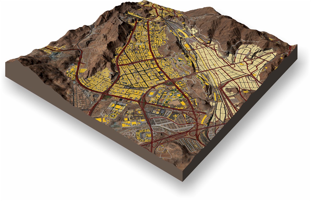
Aerial Mapping
GeoEngineering offers enterprise drone aerial mapping services that capture high-resolution three dimensional terrain measurements with high precision and accuracy. Our aerial data capture and data processing solutions enable to deliver imaging data more quickly than ever before, ultimately saving time and cutting project costs. Aerial mapping solutions allow stakeholders to receive high-definition topographic maps delivered in a timely fashion (AutoCAD, etc.), along with updated Google Earth layers, and orthomosaic maps.