Offshore Geotechnical Investigations
We are targeted as a leading provider of offshore geotechnical services. Our dedicated geotechnical drilling vessels offer the full spread of geotechnical services, including:
· Bathymetric survey
· Side Scan Sonar survey
· Magnetometer survey
· Seismic / Piezo Cone Penetration Testing
· Undisturbed soil sampling
·
Disturbed soil sampling
-
Hydrographic (Bathymetric) Survey
GeoEngineering offers a wide range of hydrographic or bathymetric services for determining physical features present underwater in various types of marine design and construction projects. Hydrographic survey is performed by the «Matrix» echo sounder. We regularly undertake high resolution surveys for nautical charting purposes. High levels of online quality control are paramount for us to ensure the acquisition of the required coverage and sounding density for target detection as defined by the International Hydrographic Organization (IHO) Special Order specification.
-
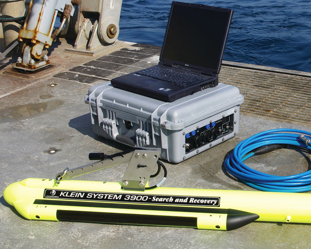
Side-Scan Sonar Survey
We perform side-scan sonar survey for underwater sound visualization of the seafloor and to inspect objects like pipelines or underwater constructions. The survey is carried out in combination with hydro magnetic survey as well as echo sounding along the specified grid of lines The sonar used is the SIS-1624 side scan sonar of Teledyne Benthos, USA, 2007. We operate several systems with frequencies ranging between 330 and 1250 kHz. Based on the processed sonograms, it is possible to visualize, locate and measure the objects of interest found on the bottom of aquatic basins.
-
Magnetometer Survey
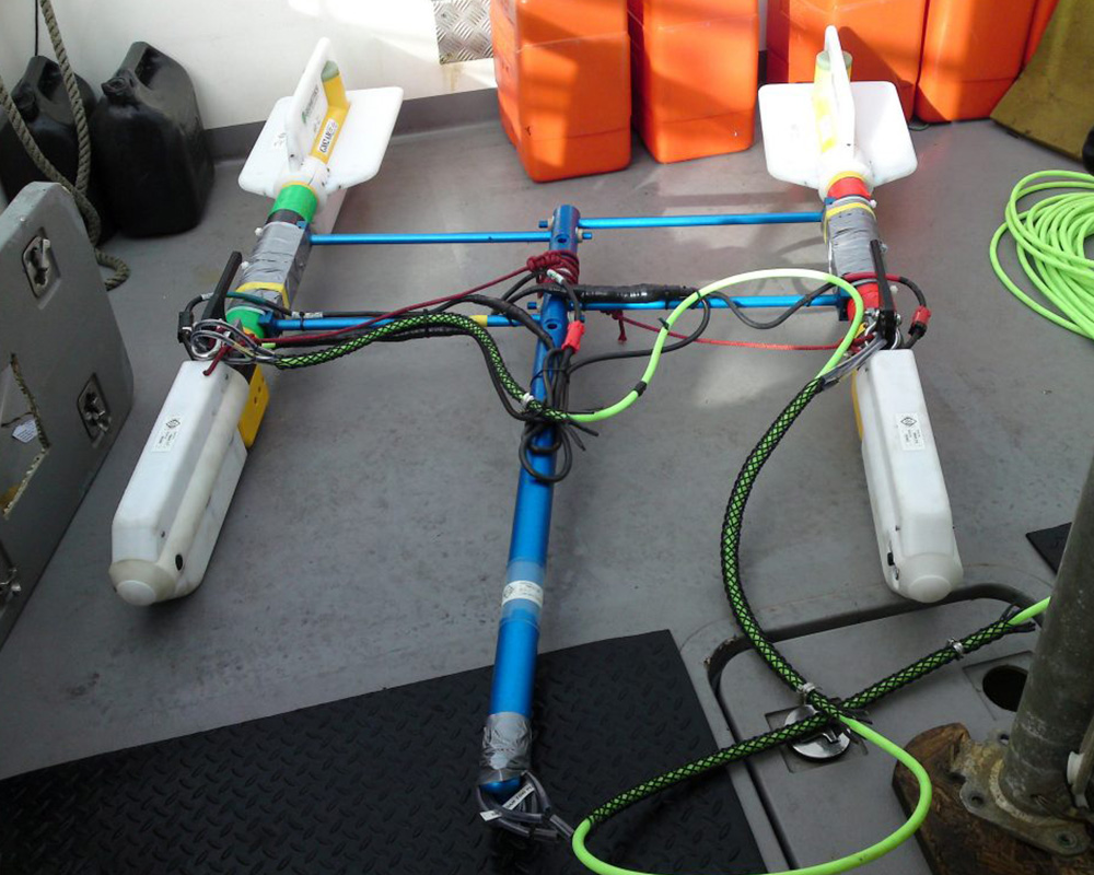
GeoEngineering offers magnetometer surveys to measure the ambient magnetic field and to locate concentrated masses of ferrous material. Magnetic survey is carried out in combination with echo sounding and seismic acoustical profiling on board the vessel. We have invested SeaSpy Marine Magnetometer, to ensure we produce reliable, high quality results when undertaking magnetometer surveys.
-
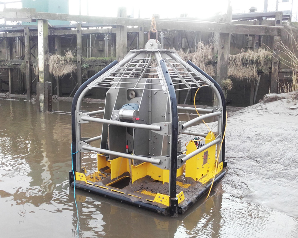
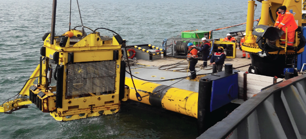
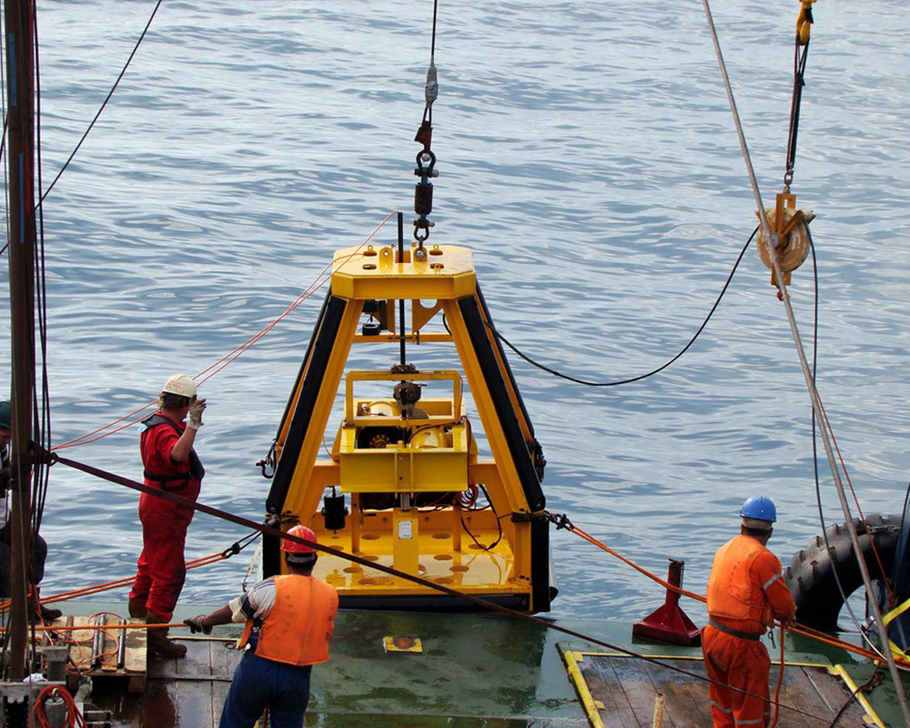
Seismic Cone Penetration Testing (SCPT)
GeoEngineering performs Seismic Cone Penetration Tests with the Manta Cone Penetration Test (CPT) System to determine subsurface soil conditions rapidly and accurately. The system allows penetration up to 20+ m. of a 5 cm2 - 15 cm2 CPT cone into the sea bed in water depths of up to 500 m. The wave speeds and moduli derived from SCPT measurements aid in the determination of soil liquefaction potential and improve the interpretation of surface seismic surveys by providing wave speed profiles as a function of depth.
Some specifications of the base frame are given below:
- Weight: 5500 kg - 22000 kg
- Length: 2.2 m - 3.0 m.
- Width: 2.2 m. - 3.0 m.
- Height: 3.3 m